Let us be plain about it: driving to Cape York is an option in 2026. The question is whether you ought to and how far you will go without discomfort; that is down to the vehicle you have, the state of the ferries and creek levels, any roadworks and what the rain has been up to of late.
The Peninsula Developmental Road, the spine of the north, has seen its share of sealing and upgrading so it is more open to you than in years gone by. For a scenic journey, consider the sealed inland drive to Cooktown. Still, do not think of it as a smooth run to the tip. You will come across mixed surfaces, corrugations and the odd bit of flood damage from the wet season, and closures can come and go in a hurry.
Sophie Dwyer here. My advice for those with this trip on the cards is to regard Cape York as a remote proposition, not something for a laid back long weekend. Some parts are less of an ordeal than they are made out to be, other bits are harder than a photograph would have you believe. It is the accumulation of small matters that gets people: being too optimistic with fuel or tyre pressures, towing at pace, or thinking a dry day puts every crossing in order.
A Straight Answer
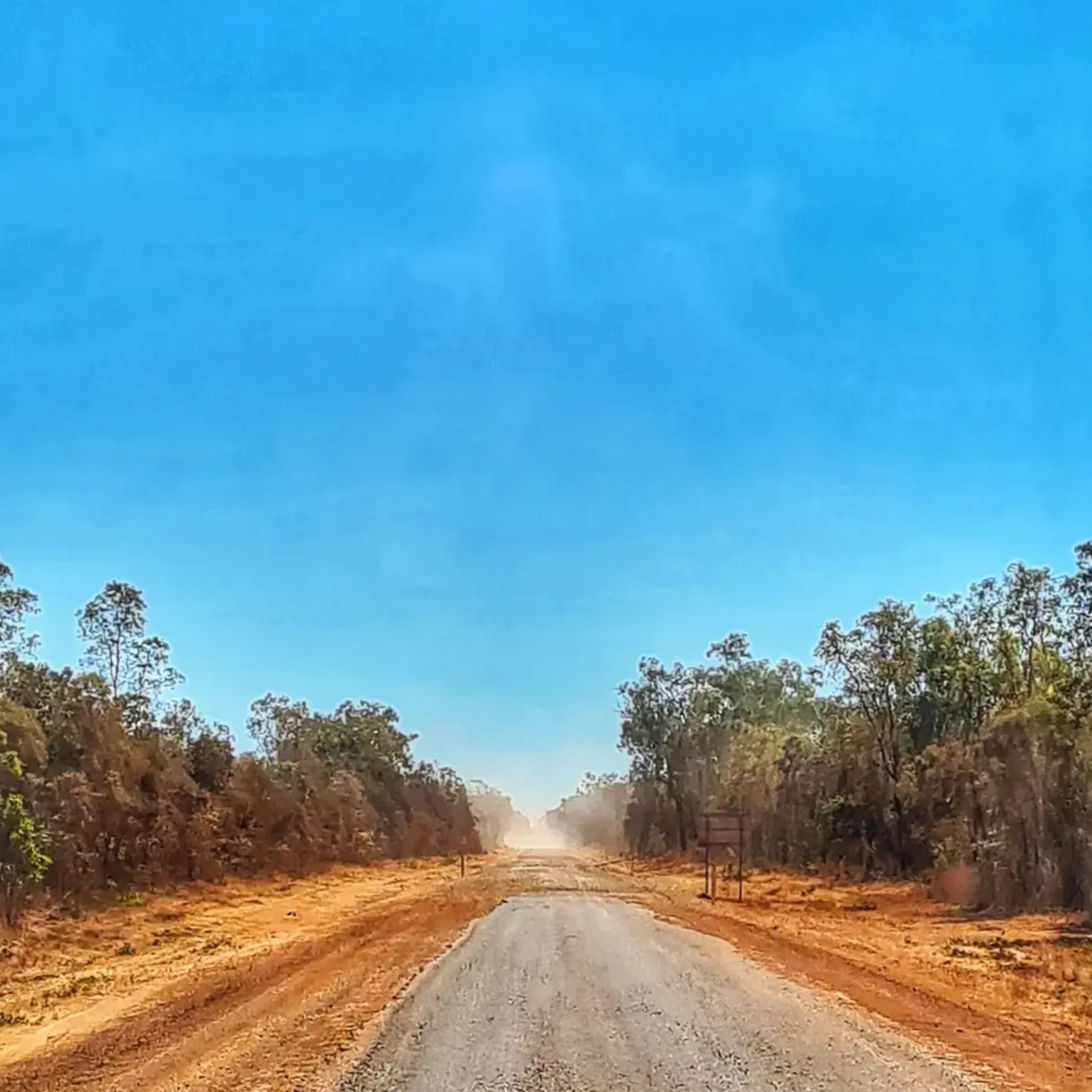
For a baseline on 2026 conditions to work your plans from, the dry season is still the way to go, say May or June through to October. You will see an improvement once the post-wet grading is done, though traffic and road trains will have their way with things and conditions will wane as the season wears on.
Absent some unseasonable rain or fire or local washouts, the route is open in the dry. In the wet, one does not expect much else but closures. Take this to heart: “open” is not synonymous with comfortable or low risk.
Who should be making this journey?
Those who are organised and do not mind dust and the odd patchy signal, and who are sensible when it comes to mechanics. Not a good fit for the novice remote driver in a heavy van with tired tyres, arriving late in the season and banking on confidence to do the job of preparation. Bush optimism is fine until you are by the side of the track with a ruined sidewall and one bar of reception.
2026 Route in Brief
People want to know where the easy going is and where you will be delayed. That is subject to the weather and maintenance but there are patterns. Go soon after reopening and you may find some lingering damage; wait and you will have bulldust and corrugations to contend with.
The following table is for planning purposes, not to be taken as licence to hurry.
| Section | Approx. Distance | Surface Pattern 2026 | Difficulty (good dry) | Where you might get caught out |
| Cairns To Cooktown | ~330 km | Sealed for the most part | Easy | To assume the ease of this leg extends north |
| Cooktown To Laura | ~140 km | Inland options mostly sealed | Easy | Getting complacent on fuel and supplies |
| Laura To Coen | ~230 km | A mix of sealed and unsealed on the PDR | Moderate | Dust, livestock, grading and corrugations |
| Coen To Archer River | ~150 km | Variable surface | Moderate | Underestimating the creeks, speed and fatigue |
| Archer River To Weipa Turn-Off / Northbound Corridor | Variable | Mixed, roughening up later in the year | Moderate to Hard | Heat in the tyres, corrugations |
| Northern Sections To Jardine River Ferry | Variable | Unsealed and often in poor order | Harder | Delays, traffic, creek entries and washouts |
In the end the reality of the PDR will be of more consequence than anything you read on social media. A trouble free drive to Laura says nothing of the state of affairs north of Coen once a week’s traffic and a good soaking have had their effect.
On the main access routes
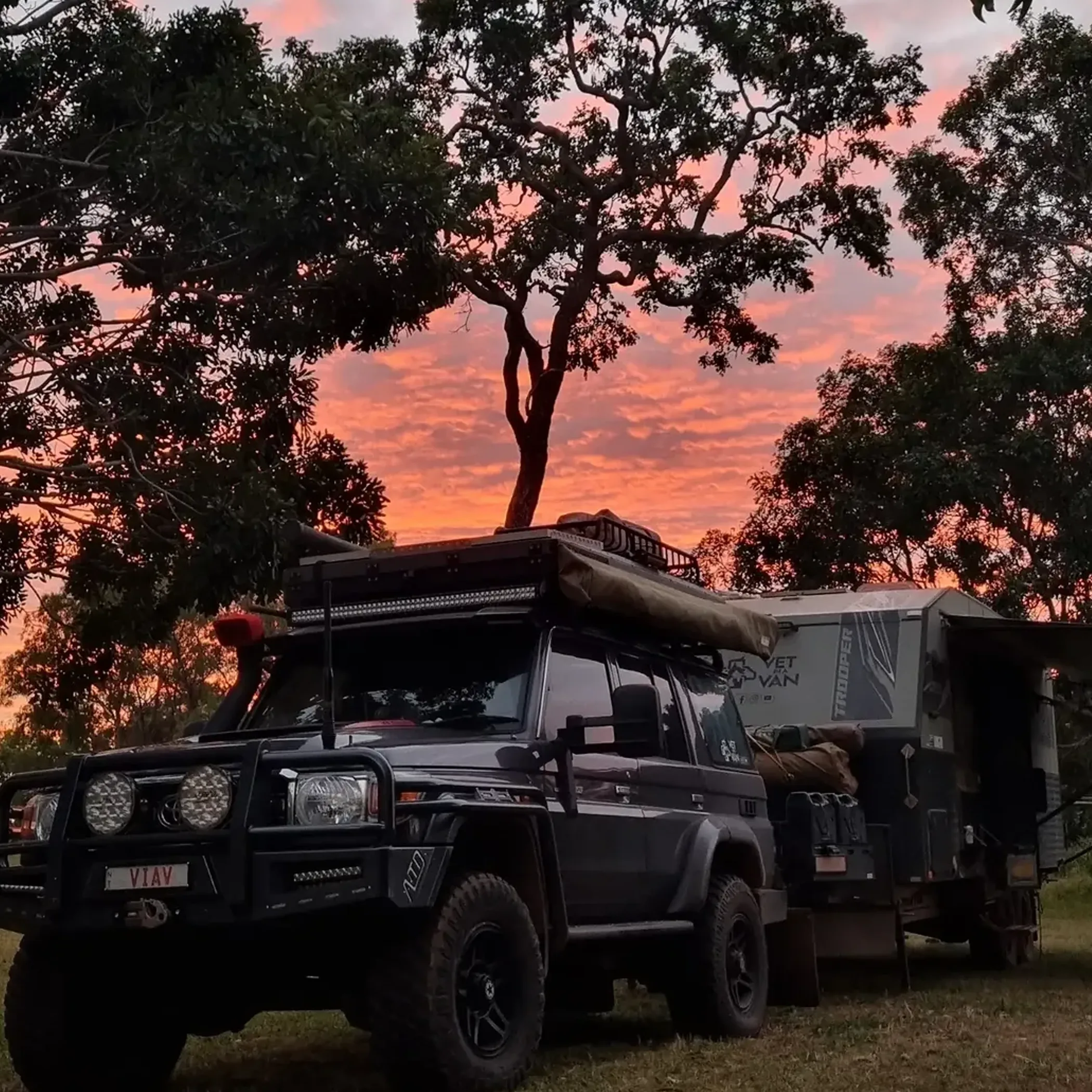
Something to consider before you head out. There is no such thing as a single Cape York road with a neat report to go by. You have a network of station tracks, side roads and detours and each will react in its own way to the elements. For the self-driver the Peninsula Developmental Road, or PDR, is the core of the route. From the main line you will find side trips and turn-offs to camping areas, communities and the northernmost reaches.
The Peninsula Developmental Road
As the principal overland connection between Laura and the points of access further north on Cape York Peninsula, the PDR is what one would call the workhorse of the region. Trip reports from years back may have you think otherwise but in 2026 there are more sealed sections to be had; that said, do not put in an order for a run of bitumen all the way to the top. Unsealed road is still with us and it is not uncommon for the quality to go from perfectly flat to something that will rattle your dash in short order.
One can only guess at the PDR conditions today when someone puts in a request for them, as they are looking to make a simple answer of a complex route. Put it this way: what vehicle are in, what has the weather been like, which part of the road? That is the sort of detail that is relevant.
Turn-Offs and Access Roads
You will find the routes to Weipa or the tracks in the Bramwell area and other local turn-offs to be rougher going than the PDR itself. Some may not be open until after the wet season has done its damage. For those making Rio Tinto country near Weipa their destination or putting in some miles past the Jardine, let your plans be based on what is realistic rather than what the map would have you believe.
There is a tendency to equate the time on the map with the time on the road. Not so on Cape York where a brief section can drag on while you are making your way around corrugations or through a damaged crossing, or standing in the dust for oncoming traffic.
An Explanation of the Cooktown Approach
Those easing their way into the north often take in the Cooktown route as a means of building confidence and to put some distance between remote-area driving and the kind of touring one does elsewhere. A drive up from the south-east on the sealed inland road to Cooktown is the calm before the dust settles in. It is a good first day for a family or camper-trailer set out to meet the PDR beyond Laura.
Sealed or Not
Compared to the older Cape York advice one might come across online, 2026 travellers will see better inland connectivity and plenty of sealed access to Cooktown. North of that the sealing is done in stages and there is unsealed road to contend with, so factor in stone damage, punctures and a drop in comfort levels. If avoiding dirt is paramount then Cape York is not the place to be. With proper preparation and an acceptance of mixed surfaces however, the journey is less of a trial than of yore thanks to the improvements.
The Wet Season
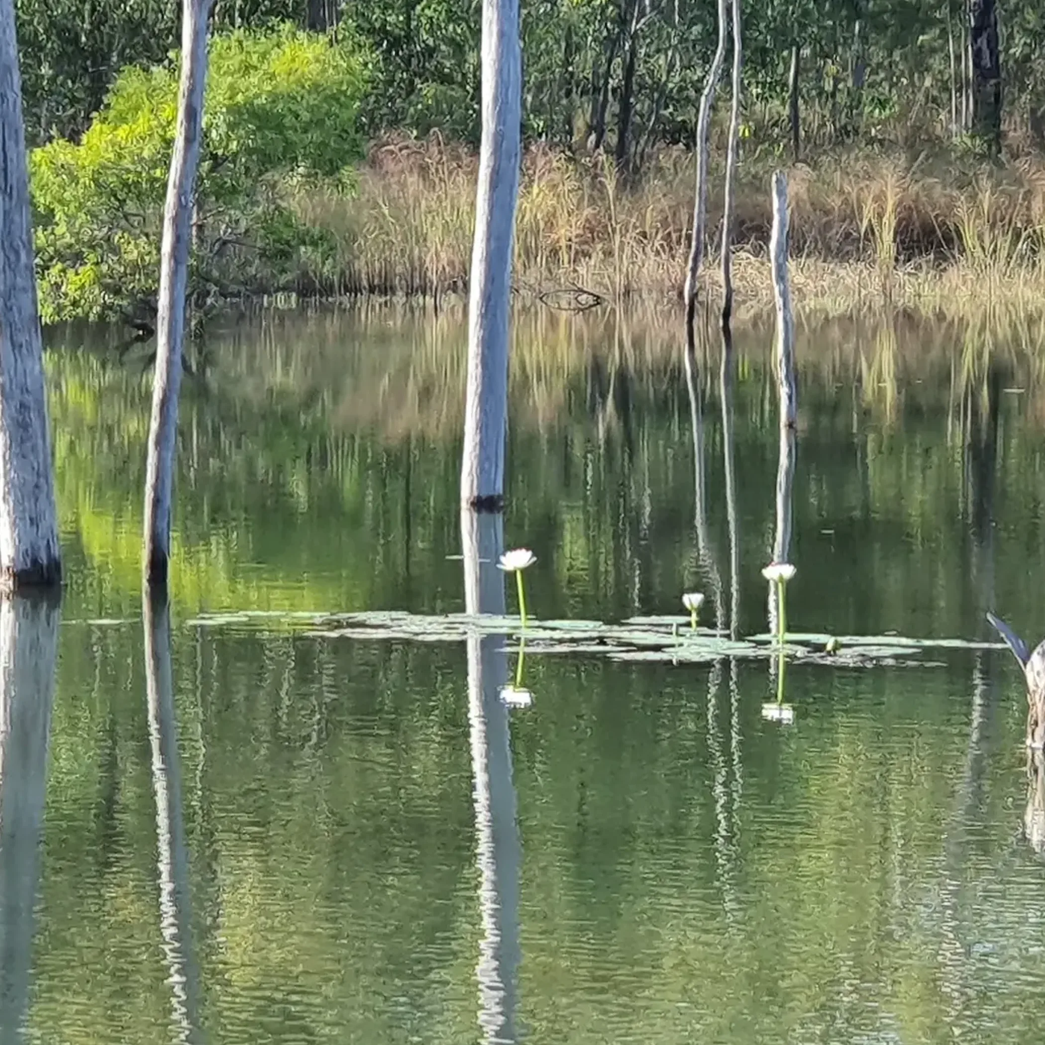
It is no wonder there are questions about road closures in 2026. In the north a spell of weather can make a no-go of a perfectly fine route. The pattern is well known: from summer through to autumn the wet season brings flooding, washouts and closures that are more than an inconvenience. The dry season is when one should be out, though even an early trip can be met with soft edges, culvert damage and the odd bit of residual water.
Reality and Expectation
The thinking is that an open road is ready for all comers. In fact, passable is all it is under present management. Patience is called for over long stretches with potholes and sharp edges, not bravery. And once the routes do reopen after a wet season closure there is the matter of accommodation pressure and fuel availability. Go up too soon and you will be re-routing and eyeing up creek levels instead of sightseeing.
Respect the Crossings
A Cape York trip is made or broken by how one deals with the everyday trouble spots, not by some single heroic feat. Archer River, Saltwater Creek and the run to the Jardine are the sort of names that put a road condition report in perspective.
In my experience, whether in travel or otherwise, confidence is best tempered with humility. The bush roads are indifferent to how many clips you have seen.
Archer River and Saltwater Creek
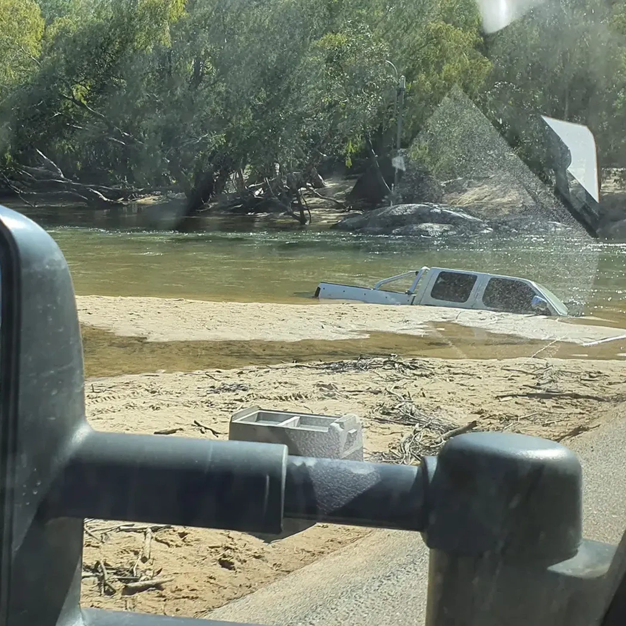
Make note of the Archer River, a landmark on the way north where the going can get rough as the season wears on and the traffic mounts. Then there is Saltwater Creek, much in evidence in any trip plan since rain and grading will alter the surface and approaches.
Depth is not what gets to people here. More often it is the way in and out of things, the holes you do not see, being hemmed in by a line of vehicles behind or the urge to put your foot down after some untroubled running. You can be slow without being unglamorous; it will cost you less.
Jardine River Ferry
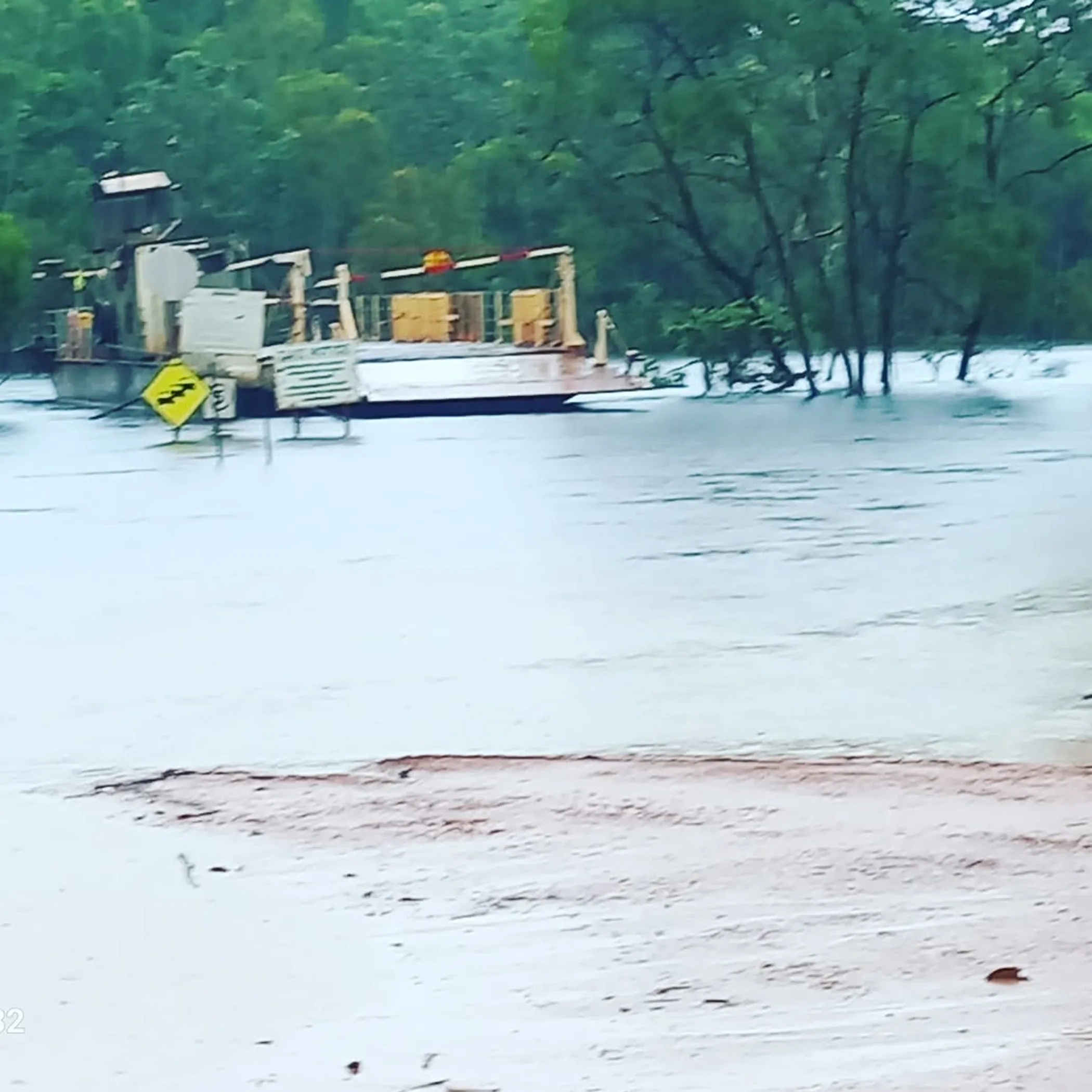
For the final leg north across the Jardine River Ferry, the 2026 ferry is still the sensible option for the majority of travellers. Do not make assumptions months in advance as to service times or how things are run; fares and arrangements will be what they are when you travel. Hence the need to consult official sources on the eve of departure.
There are times in the dry season when the Jardine River Ferry becomes a bottleneck. A road may be open on paper but queues, curtailed hours or inclement weather can put paid to your day. Bring water and snacks and some patience, you will want them up there.
The North: Some Upgrade Works
You could view the roadworks as an irritation in a hurry or something to be thankful for if you look past your own bonnet. With the Cape York Region Package and the like from TMR, the northern route is being made more resilient and dependable.
What one finds in 2026 is a patchwork of sorts. There will be newly sealed ground in places and works in progress in others, while older rougher bits will do their level best to put your cupboards in order. It is an improvement but hardly consistent.
On the Cape York Region Package
The Cape York Region Package has been associated with progressive sealing and upgrade work along critical sections of the Peninsula Developmental Road and key links in the region. The practical result for travellers is reduced dust and less wear in upgraded stretches, but also possible delays where crews are still active.
That is why recent TMR updates matter more than old forum threads. Official reports will tell you whether there are restrictions, one-lane sections, load issues or temporary closures tied to weather or works. For current government travel information, check the Queensland Traffic and Department of Transport and Main Roads road conditions service.
Plan As The Locals Do
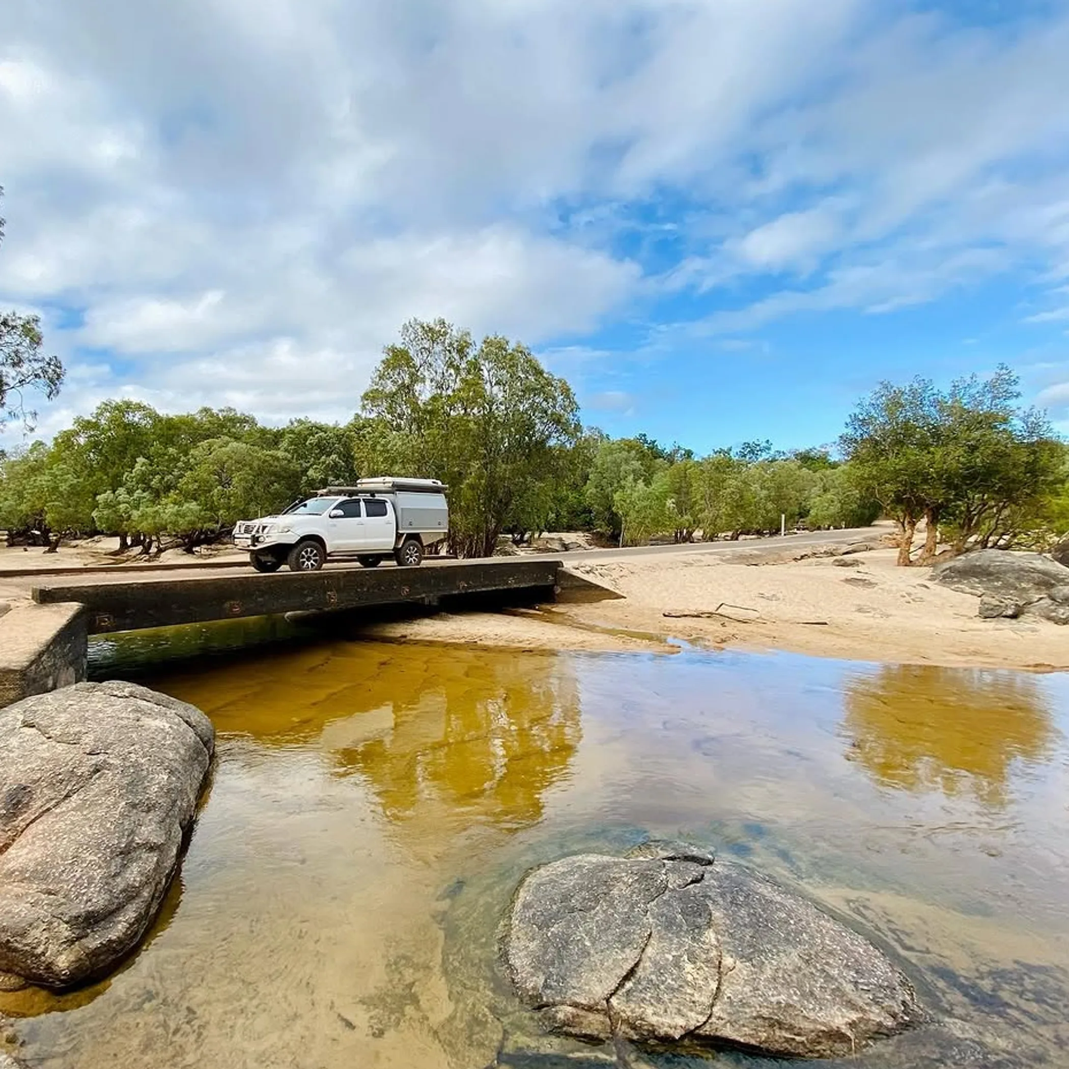
A trip to Cape York is better planned on limits than on hope. Tyre pressures, fuel range, comms and towing weight are of more consequence than any fancy add-on. One sees a lot of gear bought at a price and then the simple matters get the better of the owner.
“Can I drive to Cape York in 2026?” is not the question most should be asking. “Under these conditions and with my setup, can I do it safely?” is far wiser.
Basics Of Driving And The Vehicle
Once the easy sealed approaches are left behind, a high clearance vehicle is what is called for on much of Cape York. If you are going beyond the southern parts that are more forgiving, or into creek-country side routes late in the season with a load, a proper 4WD is the safer bet.
Some in a 2WD might find access to the better maintained southern stretches in the right conditions, but for the full Cape experience it is not a prudent thing. It is a matter of durability and protection for your tyres as well as traction, and having the means to deal with a road that does not live up to expectations.
Comms, Towing, Tyres
- Do not set your tyre pressures and forget about them; adjust for the load and corrugations. A spare is a must, two for mixed surface remote travel.
- When you are towing, be realistic of your trailer’s suspension and dust sealing and take your speed off.
- An ordinary mobile is not enough coverage, have a satellite or emergency back-up.
- Fuel up conservatively; the distances on paper are more than they seem.
Then there is the cost. Fuel, ferry fees and accommodation in the bush will all eat into your funds, and a damaged suspension can be an expensive education. Cape York is no cheap drive. If you have a tight budget, put aside a contingency and do not part with every dollar before you hit Laura.
Checking What Is Going On
This is how you avoid a row at the servo and are not put off by something your cousin’s friend put on the net three weeks back. When it comes to 2026 travel in Cape York, one should not rely on a single live source for an update; put two or more to the test. This is all the more true at the turn of the wet and dry or in the wake of some rain.
You will want to be familiar with the likes of Cook Shire Council, RACQ road conditions, QLD Traffic and the Department of Transport and Main Roads. Put them to use in concert since they each have their own way of completing the picture.
Best Sources
- QLD Traffic and TMR for state road incidents, closures, warnings and major route status.
- Cook Shire Council for local access issues, recovery work and regional updates.
- RACQ road conditions for practical traveller-facing summaries and route planning support.
- Local accommodation hosts, roadhouses and ferry operators for same-day reality checks.
A word on maps: if you are after a Cape York road map 2026 to plan with, an offline mapping app and a proper regional map will do, but compare them with what is happening on the ground in the morning. A map will tell you where the road is, not if a dip has become a nuisance thanks to yesterday’s downpour.
Making Do With Time
There are those without a suspension budget or two weeks to spare. In a short northern window of a day or so, make your choice of section realistic rather than put yourself to a full-Cape fantasy that is nothing but driving and no enjoyment.
Beginners would do well to stick with the approach around Cooktown and Laura to get a feel for Cape country without going out to the most remote and trying parts. The run north is not for the novice unless he is in experienced company with the right setup and recovery gear.
Some Common Questions
Travellers have these questions for cause. Much of the confusion is in equating “open” or “possible” with “advisable”, which is not the case.
Cape York Road Condition At Present?
It is a matter of the section, the grading, roadworks and how much rain has fallen. One can expect the main route to be most accessible in the dry season in 2026, though corrugations and the odd rough patch on sealed and unsealed surfaces are still par for the course.
Is Driving To Cape York An Option?
In 2026 you can, under the right conditions and particularly in the dry. But when the wet sets in or there has been heavy rain, restrictions and closures are a fact of life, making a live check de rigueur.
Extent Of Unsealed Road?
Older reports would have you think otherwise, but upgrades have put down their share of sealed surface. North of the southern approaches you will still find your fair share of dirt and mixed-surface. It is enough to warrant preparation for the remoteness.
2WD For The Trip?
Not advised for the whole of it. You might get by on some of the improved or southern stretches if conditions are good, but the sensible thing for a safer journey is high clearance, typically a 4WD.
Where Are The Trouble Spots?
The Peninsula Developmental Road has its rough bits, as do the creek approaches at Archer River and Saltwater Creek. Factor in the weather and the timing of the Jardine River Ferry and you can be delayed in no time by what were minor matters.
To Sum Up
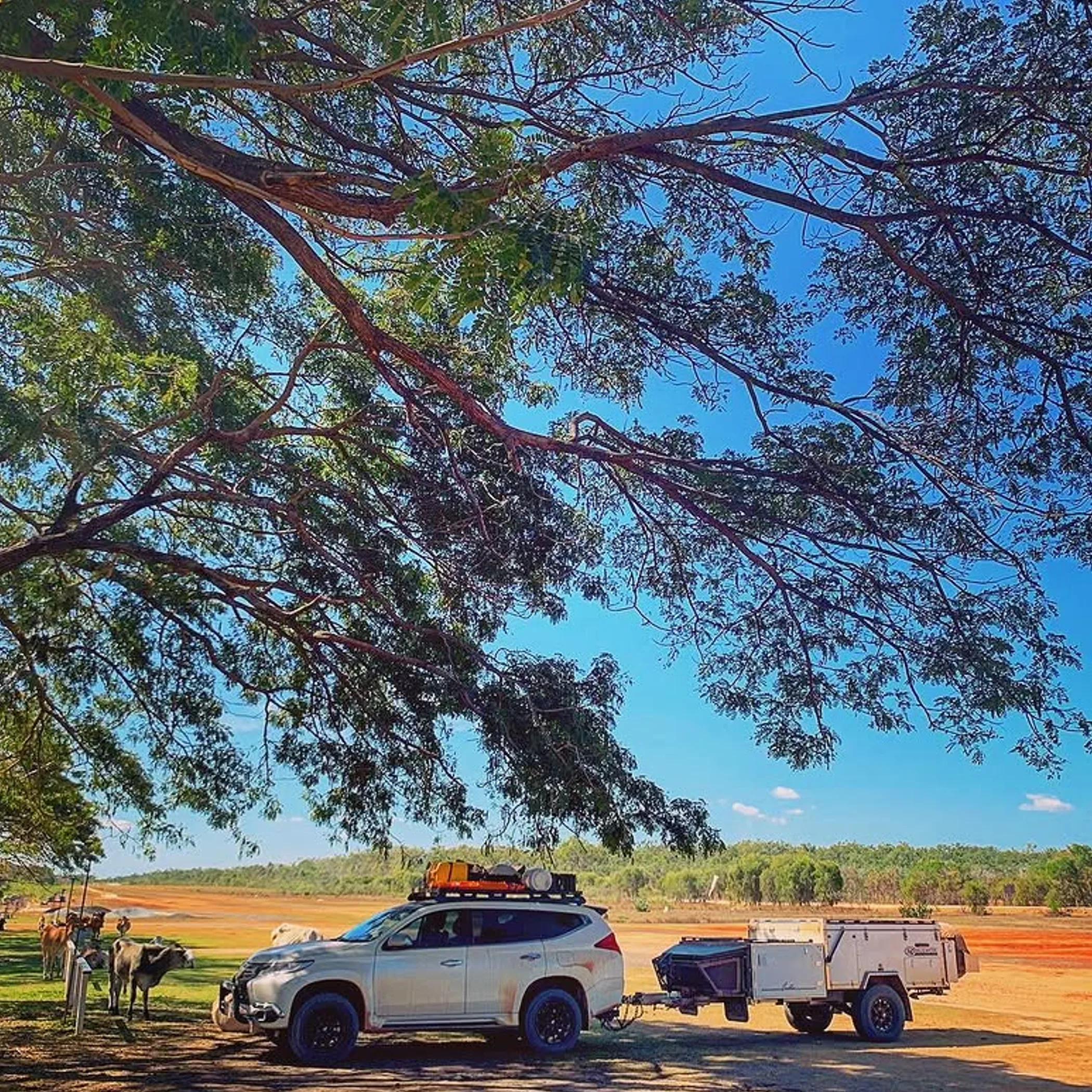
The 2026 road conditions in Cape York may be better than some old trip reports make out, with the upgrades and additional sealing, but respect is called for. The PDR is no suburban way through, the wet season has its say and the crossings up north will put ego in its place.
My advice is to plan for the road in front of you and not the one you wish was there. Give yourself the time, drive accordingly and see the Cape for the remote country it is. Done right it is a fine trip. Otherwise it is an expensive tantrum.